Drone Services
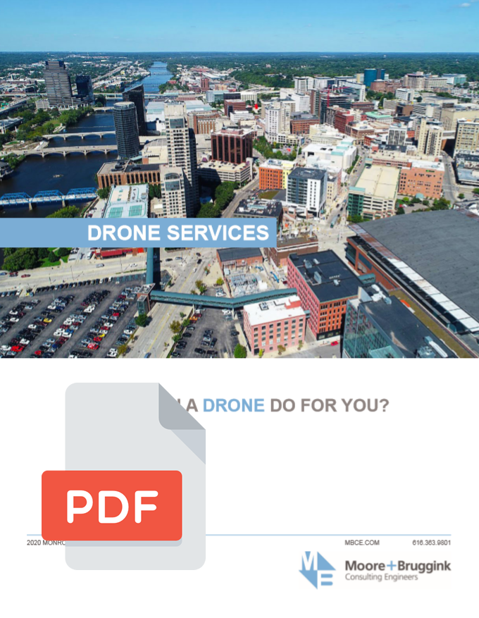
Drones have become a valuable tool for a wide variety of industries, commercial enterprises, and municipalities. Drones can be safely and efficiently deployed to capture stunning imagery or video of any subject matter from perspectives that were previously only possible from planes. Innovations in drone and photogrammetry software have expanded the capabilities of drones far past simply capturing images for marketing.
Drone imagery can be collected and processed to create accurate models of the earth’s surface, including natural features and manufactured structures. These include high-resolution georeferenced maps, digital elevation models, point clouds, and 3D models.
 (+) Click To Download Brochure